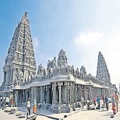
Travelling And Route Map Sabarimala Temple
Travelling And Route Map Sabarimala Temple Check More Information Visiting Places Near Sabarimala Temple and Accommodation At Sabarimala Temple

Railway route:
There is no direct railway line connecting other towns to Sabarimala but there are a few railway stations near the temple. The nearest railway stations are at Check More Information Seva’s And Pooja Timings Sabarimala Temple

Chengannur Kottayam
Also Read About Ayyappa Deeksha Sabarimala Temple
Which are approximately 90 kms to pamba
For pilgrims coming from places outside Kerala, like Mangalapuram, Bangalore, Coimbatore, Hyderabad, Mumbai, and Delhi, disembarking at Kottayam railway station is the most convenient stop followed by Thiruvalla and Chenganur for easy access to Sabarimala.
Pilgrims getting down at Ernakulam will need to proceed by road to reach Sabarimala. Some trains may go from Ernakulam to Kollam or Thiruvananthapuram via Alappuzha and these will not touch Kottayam.
Travelling And Route Map Sabarimala Temple
Pilgrims traveling in these trains may need to get down at Alappuzha and then proceed by road through Changanassery and Erumely, or else, may need to get down at Kayamkulam and proceed by road via Adoor.
Check More Information About Sabarimala Temple
The distance in both cases by road is about 125 kilometres. For pilgrims coming from Thiruvananthapuram by train, the best stations to disembark are Thiruvalla or Chenganur and then travel about 90 kms by road to reach Sabarimala.
Airways:
The very near international airports to reach sabarimala are
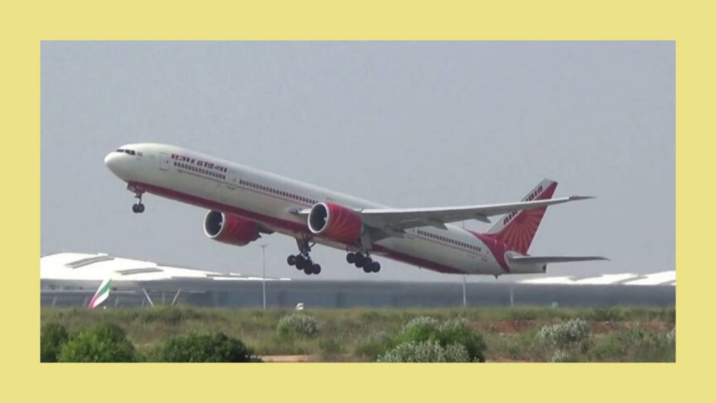
Kochi – 160 kms to sabarimala by road
Tiruvanantapuram – 170 kms to sabarimala by road
Other airports which are bit far away from sabarimala are……
Calicut International Airport in Karipur, Kozhikkode – 330 kms by road or rail
Madurai – 250 kms by road or rail
Coimbatore – 315 kms by road or rail
Pilgrims from Coimbatore can also reach Kottayam by train. The approximate distance is 250 km. After the train journey, travelers will have to complete the last 90 km by road. Similarly, pilgrims from Kozhikode can also travel by train to reach Kottayam, which is about 260 km away. From Madurai Airport, pilgrims can visit Sabarimala via Kumali by road.
Road way
The majority of visitors to Sabarimala arrive by road.
| Erumeli | Pampa | 56 Kms |
| Kottayam | Erumeli | 72 Kms |
| Kottayam | Pampa | 128 Kms |
| Chengannoor | Pampa | 93 Kms |
| Thiruvalla | Pampa | 99 kms |
| Ernakulam | Pampa (via) Kottayam | 200 Kms |
| Alleppy | Pampa (via) A.C. Road | 137 Kms |
| Punalur | Pampa | 105 Kms |
| Pathanamthitta | Pampa | 69 Kms |
| Pandalam | Pampa | 84 kms |
| Thiruvananthapuram | Pampa | 175 Kms |
| Ernakulam | Erumeli (via) Palai, Ponkunnam | 175 Kms |

Manglore or mysore: Thrissur – Moovattupuzha-Kottayam road -210 kms (frm thrisur)
Tamil nadu / A.P Thrissur via Coimbatore or Guddalore / via Madurai or else through Kumali-250 kms (from Madurai)
Tamilnadu like Nagercoi Thiruvananthapuram -Kottarakkara –Adoo =250 kms (from nagercoil)
Travelling And Route Map Sabarimala Temple timing of bus from KSRTC is not specifically scheduled since bus will always available as and when required. That is, one bus will always be there at the bus station and will starts the trip just after filling the seating capacity.
Also Read Epic Story Of Sabarimala Temple